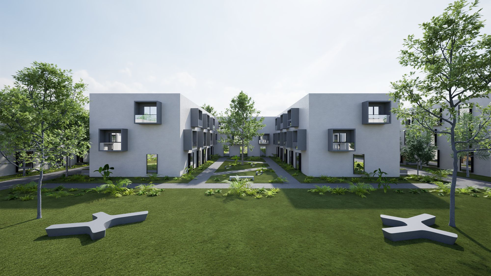
Cleethorpes: a woodland-edge neighbourhood
A neighbourhood of 1,500 homes on 42.76 hectares at the southern edge of Cleethorpes, beside Weelsby Wood Country Park. Mid-rise courtyard blocks frame the key public spaces, with townhouses and family housing at the quieter edges.
- Type
- Housing-led masterplan, individual project
- Site
- East of Humberston Road, southern edge of Cleethorpes
- Allocation
- HOU074B, North East Lincolnshire Local Plan
- Module
- ENVS463 Urban Design Studio, University of Liverpool
- Tools
- SketchUp and Twinmotion, tested first as a clay model
- Mark
- 74%
Three decisions set the plan: how the streets work, how density is distributed, and where the water goes.
Streets are pedestrian-priority shared surfaces, with vehicles limited to residents reaching private garages.
Density is graded rather than uniform. Mid-rise courtyard blocks frame the key public spaces, with townhouses and family housing at the quieter edges.
The drainage strategy follows the site topography, directing surface water to a central retention landscape at the lowest point.
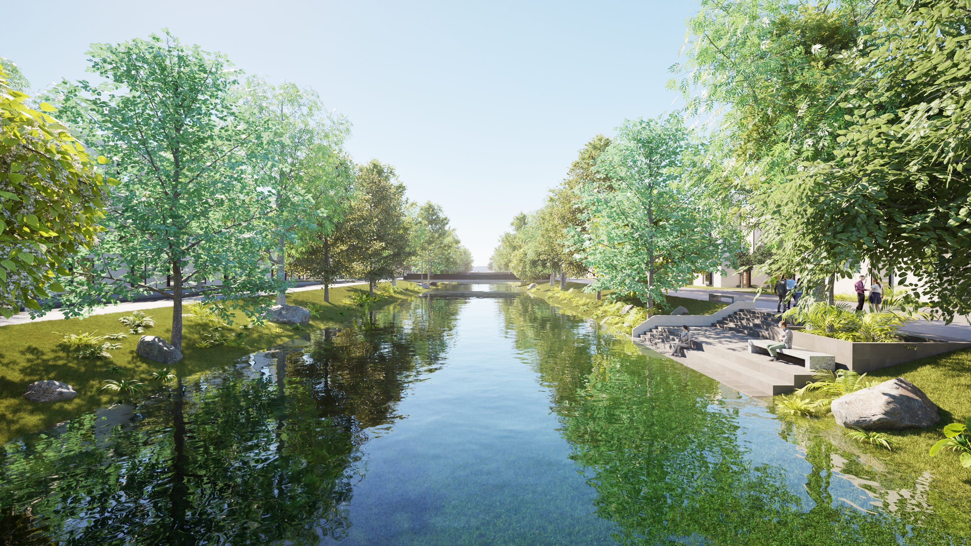
Holding the water in the open does the engineering job and produces the setting the housing is valued for.
Surface water is directed by the site topography to a retention landscape at the lowest point, where it becomes the main public space of the neighbourhood. Green corridors connect to the woodland edge rather than stopping at the site boundary.
The scheme was tested first as a clay model, before it was built in SketchUp.
Higher-density courtyard blocks frame the key public spaces, and lower-density housing sits along the quieter residential streets.